GIS & Maps
Welcome to the Effingham County GIS Department
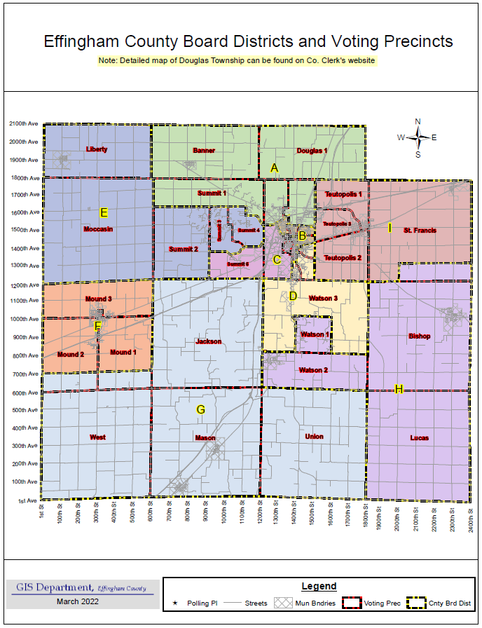
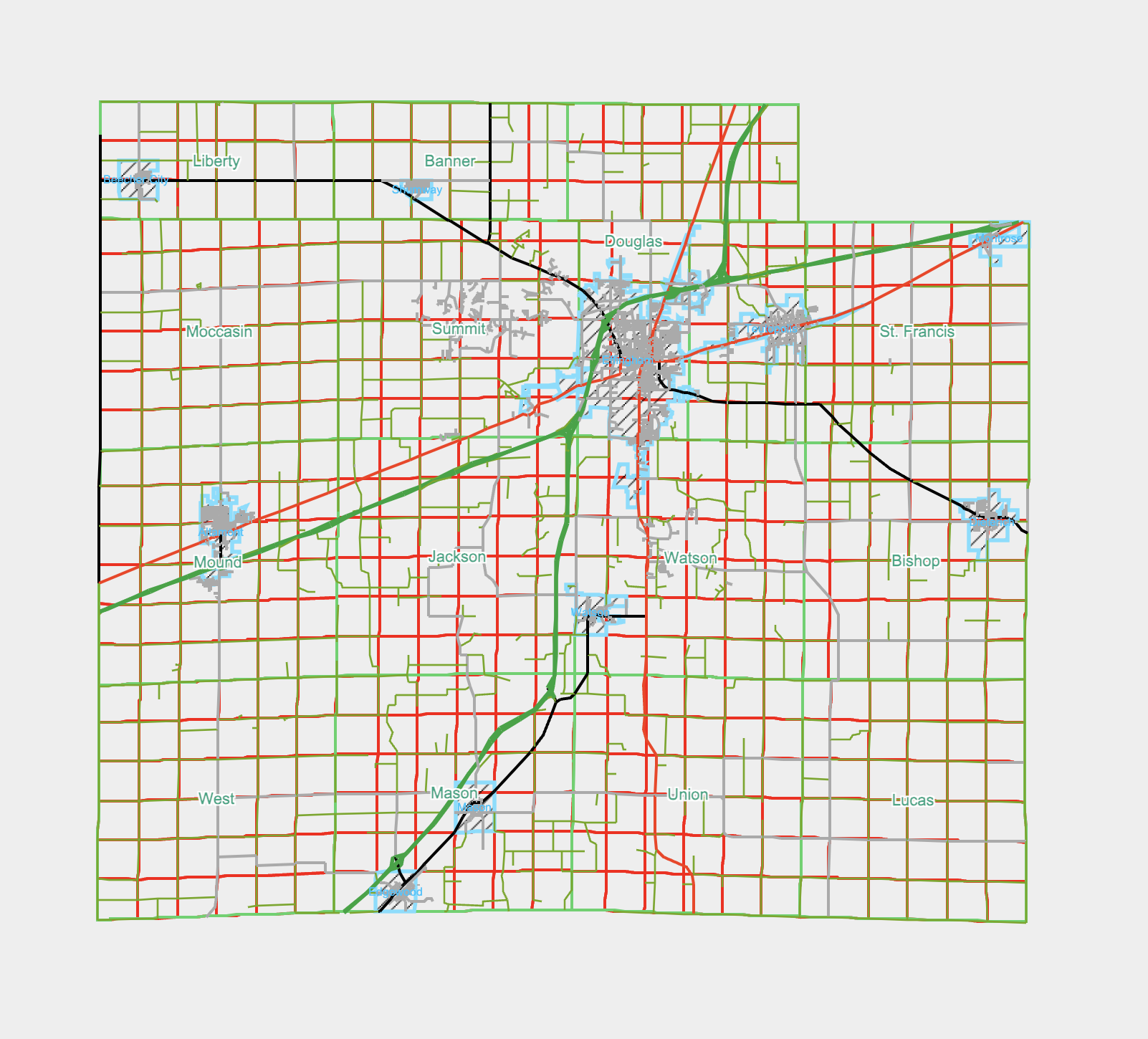
The Effingham County GIS Department is responsible for creating and maintaining digital geographical datasets relative to Effingham County. Examples of these datasets include, but are not limited to, the following: tax parcels, taxing districts, land use, soils, flood area, addresses, roadlines, voting districts, emergency response jurisdictions, and aerial photography.
The GIS Department works in coordination with several different County departments, including the Supervisor of Assessments, the Highway Department, E-911 / Sheriff’s Dept, the County Clerk’s Office, and also other private and governmental agencies that have uses for Effingham County’s geographical data.
In addition to maintaining data, the GIS staff responds to custom map requests from the same departments and agencies, and also the public.
What is GIS?
What is GIS?
A geographic information system (GIS) integrates hardware, software, and data for capturing, managing, analyzing, and displaying all forms of geographically referenced information.
GIS allows us to view, understand, question, interpret, and visualize data in many ways that reveal relationships, patterns, and trends in the form of maps, globes, reports, and charts.
(Source: ESRI)
Disclaimer: Effingham County is providing this GIS information as a public service. While all attempts are made to insure the accuracy and completeness of the GIS data contained on this website, accuracy, is in no way, guaranteed. Portions of this information may be incorrect or not current. Effingham County, Illinois, nor any officer or employee of Effingham County, warrants the accuracy, reliability or timeliness of any information published on this website, and shall not be held liable for any losses caused by reliance on the accuracy, reliability, or timeliness of such information. Any person or entity that relies on any information obtained from this website does so at his or her own risk. Any errors or omissions should be reported to the Effingham County GIS Department.
The ECOMS map is for informational and taxing purposes only. The County does not have Zoning and the GIS Map does not provide the Zoning information for municipalities. Please contact the municipality for Zoning questions. Please note some municipalities exercise Zoning and Subdivision Jurisdiction up to 1 ½ miles outside their Corporate Limits.
ECOMS Tax Parcel Map
ECOMS is a cadastral map of all of Effingham County’s tax parcels and aerial photography. Attribute information for the tax parcels includes the following:
- Owners (up to 2)
- Address
- Size
- Tax Code
- Class Code
- Tax Billed
- Location
- Assessment
- Exemptions
- Sales (when available)
- Taxing Districts
- Property Sketches/Images (when available)
Search can be performed on the tax parcel layer by the following:
- Parcel Number
- Owner Name
- Site Address


