Runway Information
FAA Identifier: 1H2
Coordinates: -88.533520, 39.070451
Elevation: 587 ft
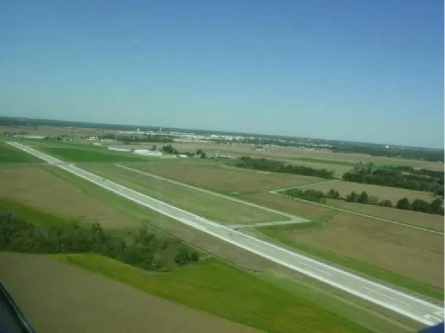
Runway 11/29
Dimensions: 5100 x 75 ft. / 1554 x 23 m
Surface: concrete, in good condition
Runway edge lights: medium intensity
Runway 11 |
Runway 29 |
|
Latitude |
39-04.41517N |
39-04.08683N |
Longitude |
088-32.47843W |
088-31.48637W |
Elevation |
585.0 ft |
573.0 ft |
Traffic Pattern |
left |
left |
Marking |
basic, good condition |
nonprecision, good condition |
Runway End Identifier Lights |
yes |
|
Instrument Approach |
LOC/DME |
|
Obstructions |
44ft tree, 1586ft from runway, 192ft left of centerline, 31:1 slope to clear |
75ft, 2507ft from runway, 496ft right of centerline, 30:1 slope to clear |
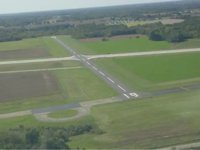
Runway 1/19
Dimensions: 3400 x 60 ft. / 1036 x 18 m
Surface: asphalt, in good condition
Weight limitations: Single wheel: 12,000 lbs
Runway edge lights: medium intensity
Runway edge markings: 19 MARKINGS FADED
Runway 1 |
Runway 19 |
|
Latitude |
39-03.9134N |
39-04.46873N |
Longitude |
088-32.10132W |
088-32.00732W |
Elevation |
572.0 ft |
581.0 ft |
Traffic Pattern |
left |
left |
Markings |
nonprecision, poor condition |
basic, poor condition |
Visual Slope Indicator |
pulsating/steady burning VASI on left (3.00 degrees glide path) |
pulsating/steady burning VASI on left (3.00 degrees glide path) |
Obstructions |
54ft trees, 1466ft from runway, 434ft right of centerline, 23:1 slope to clear |
35ft tree, 967ft from runway, 162ft right of centerline, 21:1 slope to clear |
Contact
Jerry Tate
Airport Manager
ph: 217-536-5312
Office Hours
M-F 8:00am - 4:00pm
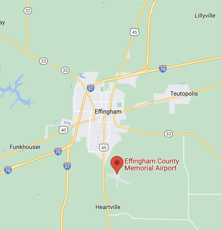
Effingham County Memorial Airport
14449 East 1100th Avenue
Effingham, IL 62401
Quicklinks